Alta Toquima Range
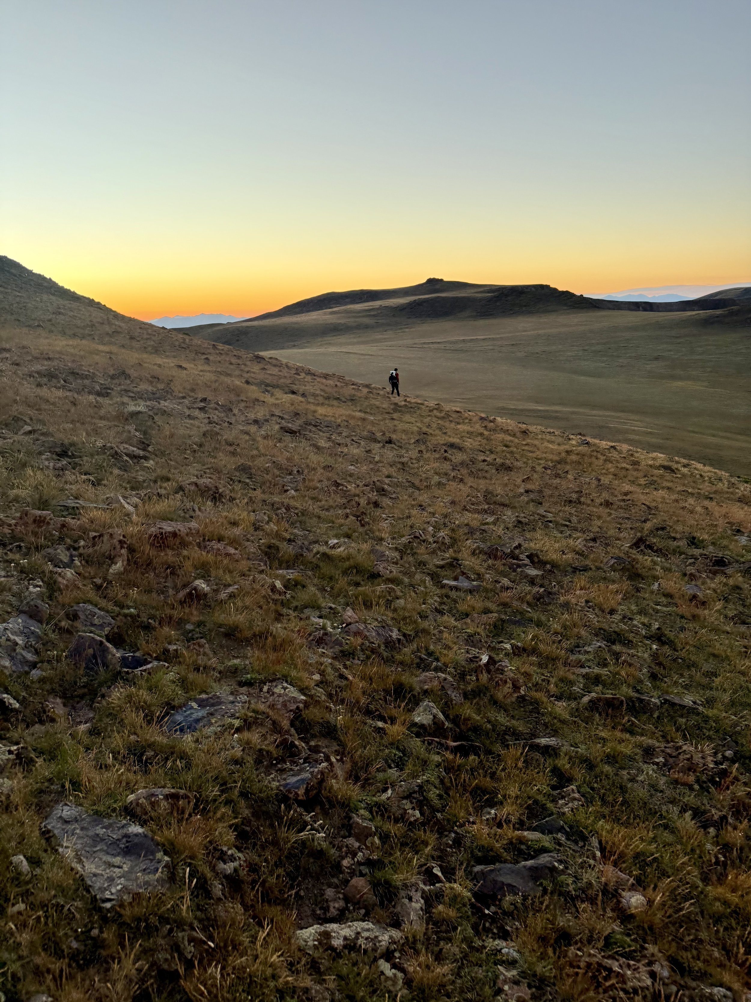
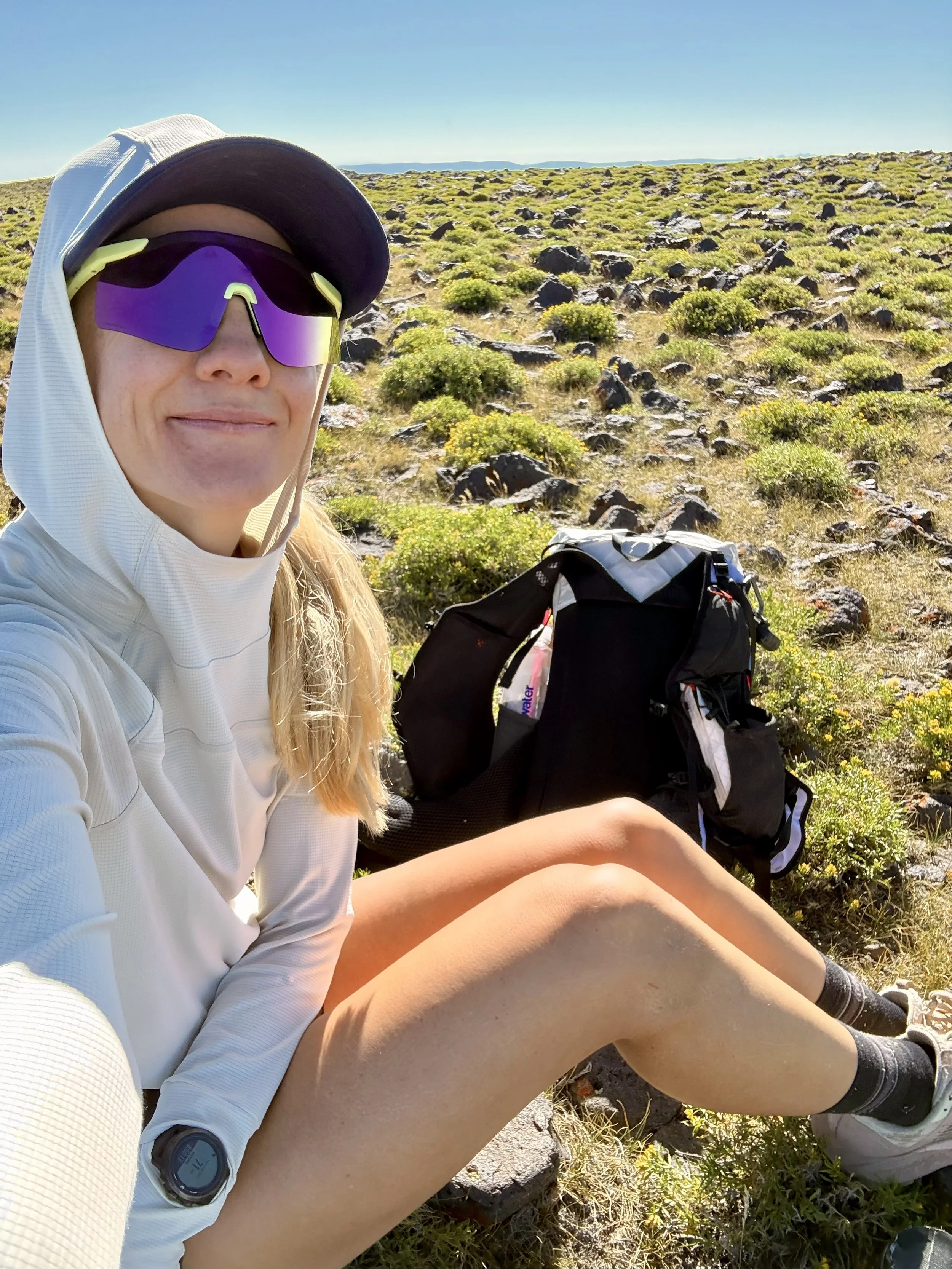
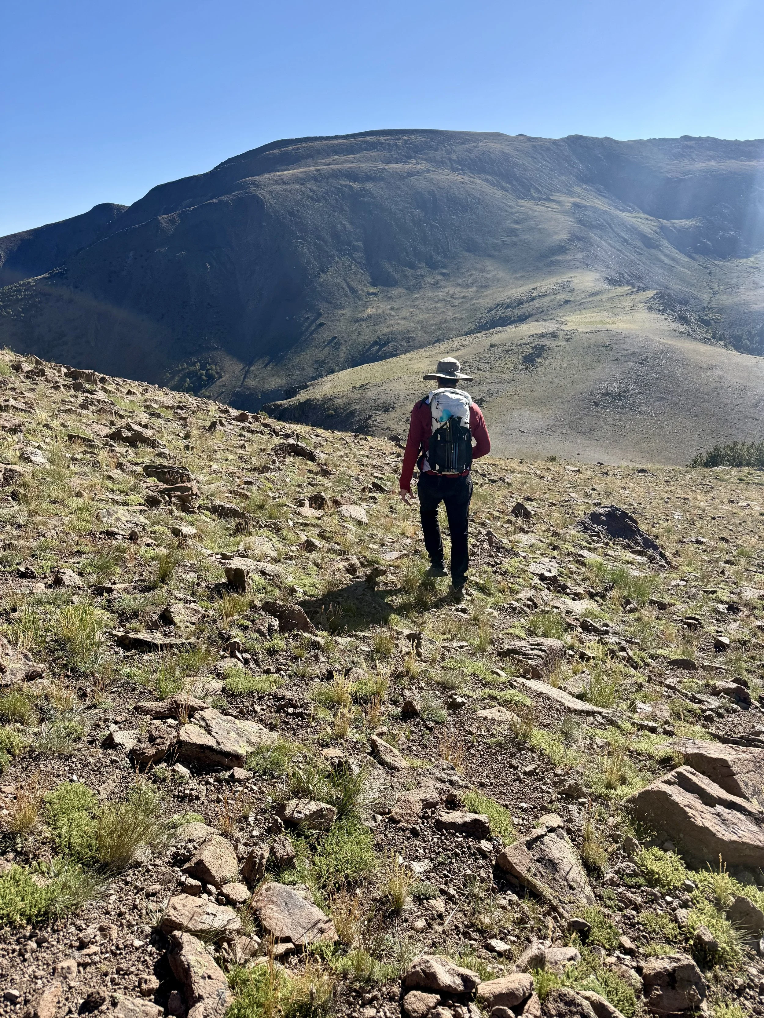
In July of 2026, we made the 5.5-hour drive from Carson City and spent 2 days and 1 night up in the Alta Toquima Wilderness. We did a good amount of wandering around, but our route was about 25 miles and 7,000 ft of climbing and descending. Very doable as a day, but it was pleasant to live up there for a short while.
This range runs parallel to the Toiyabes. We had done the Toiyabe Crest Trail (TCT) the month before and were itching to get back into some remote Nevada backcountry.
On our TCT trip, we saw nobody over the 2.5 days we were out there. This trip was the same - there were a couple of people camping at Pine Creek Campground, but we saw no one else in the backcountry.
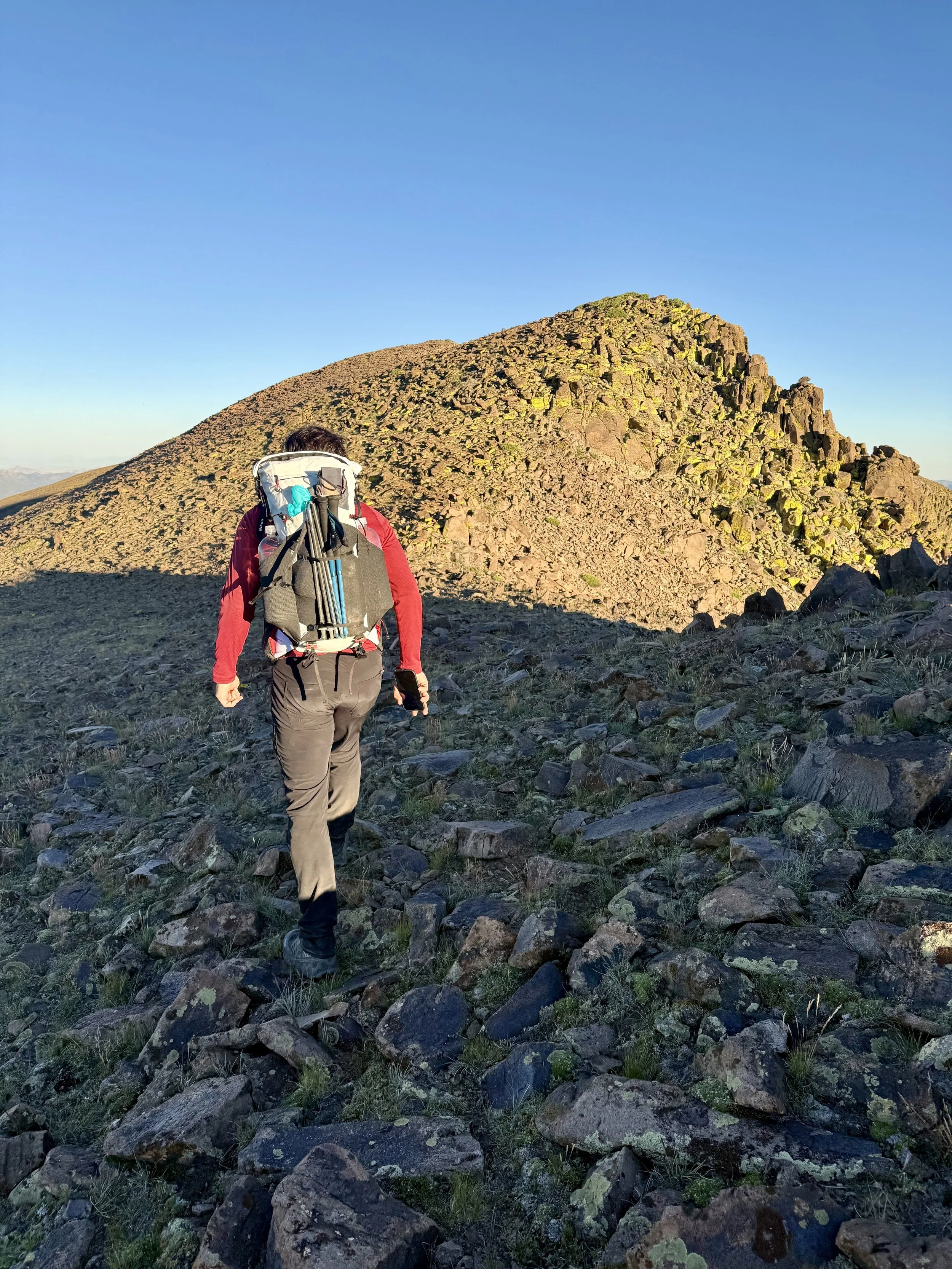
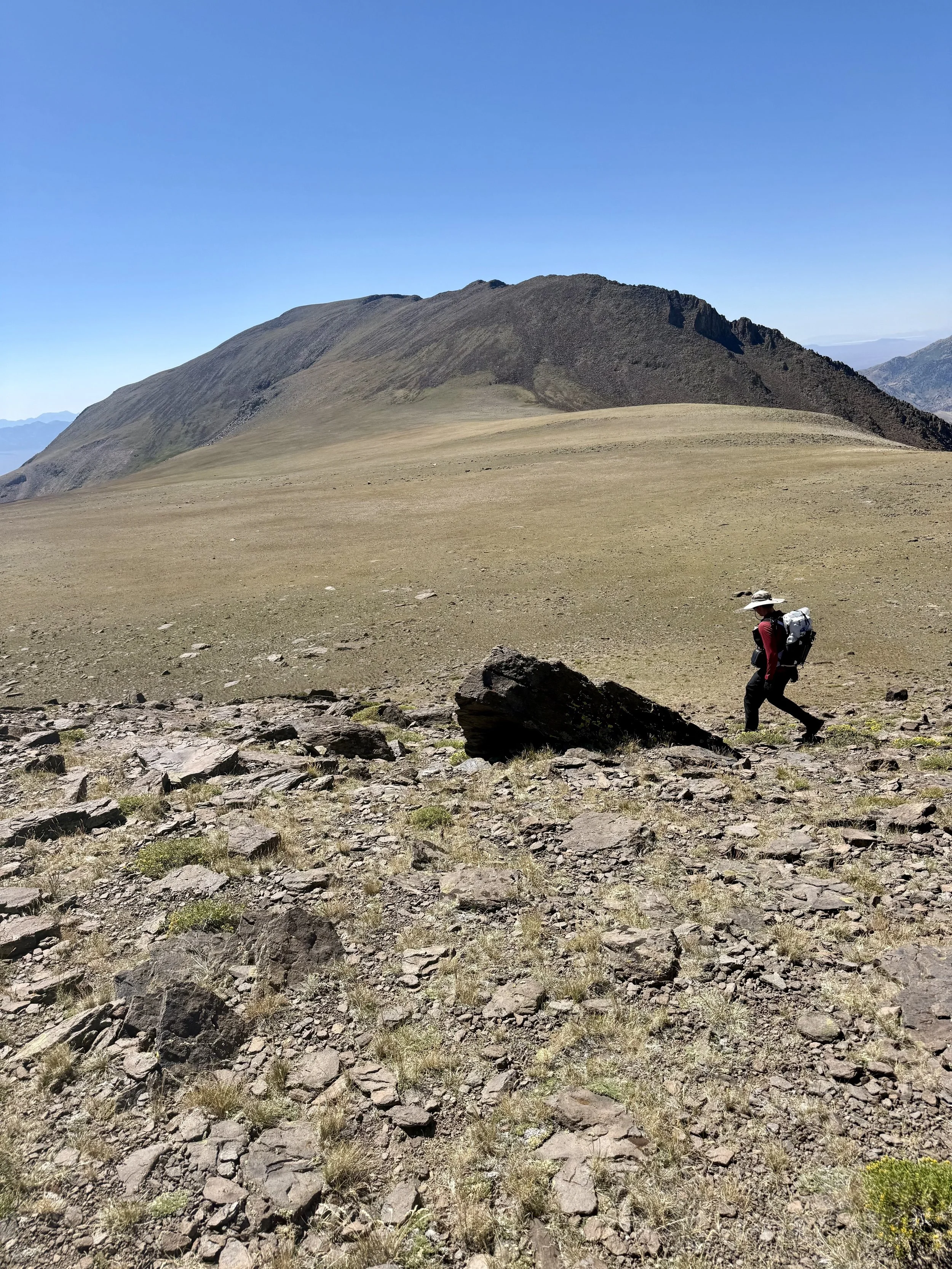
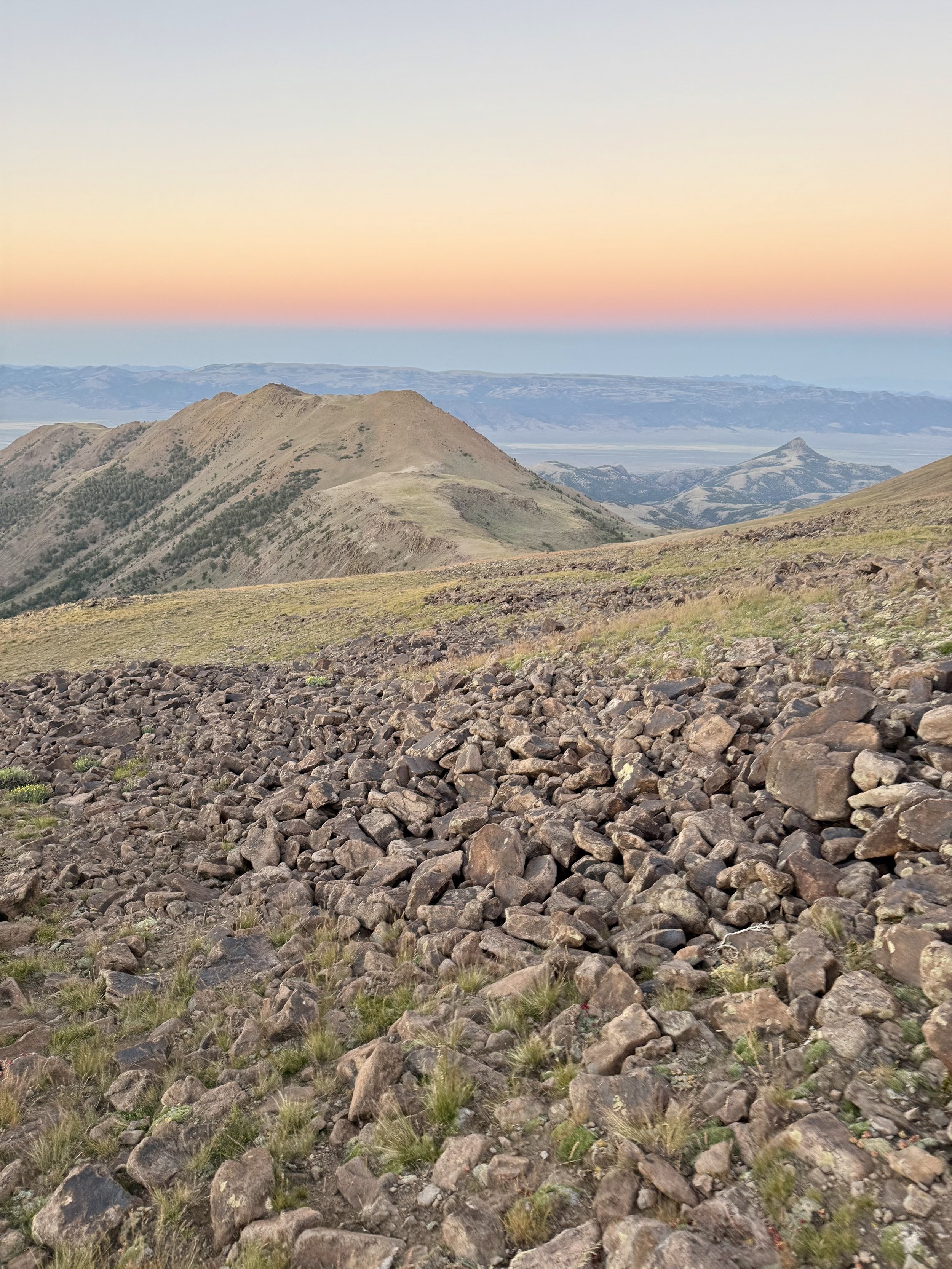
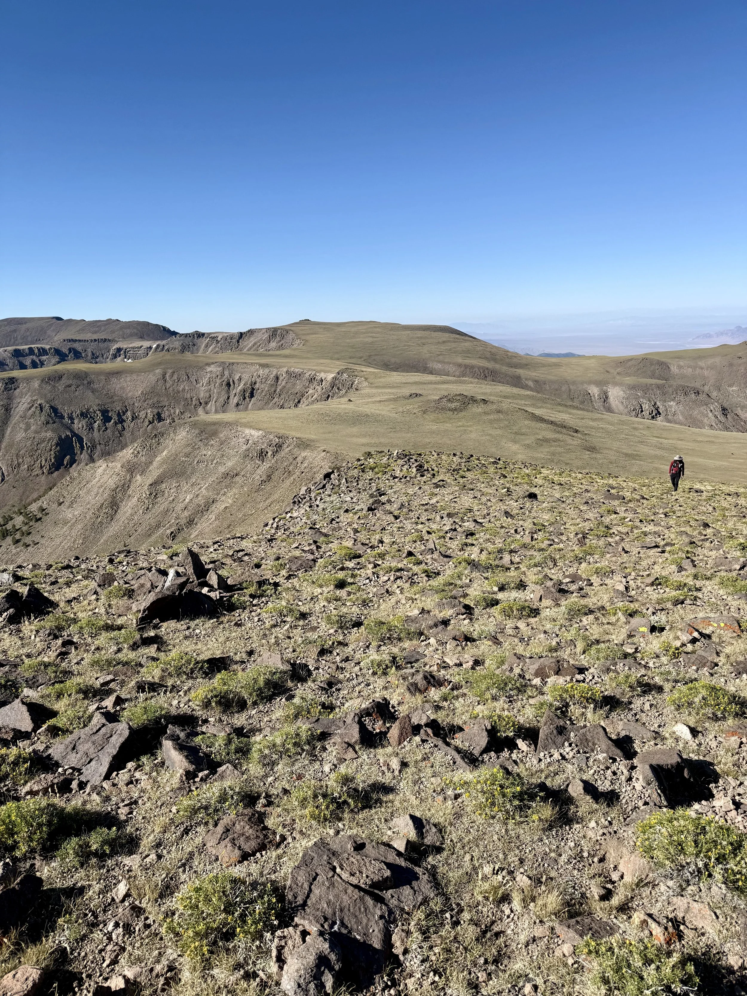
This stretch of Nevada High Desert is stunning. The trails were rough, similar to the Toiyabes, but the off-trail, cross-country sections - though generally rocky and tedious - were class 1.
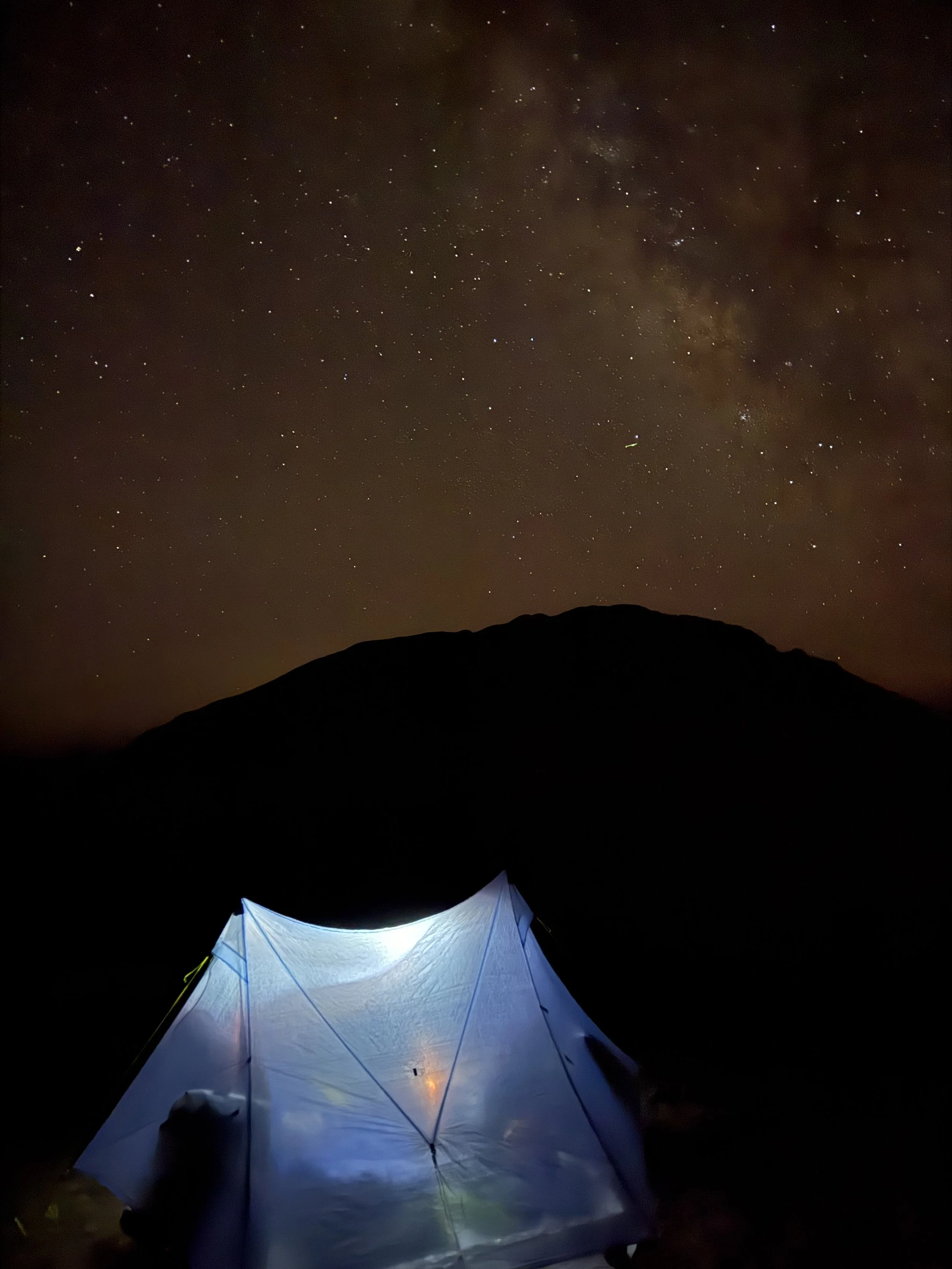
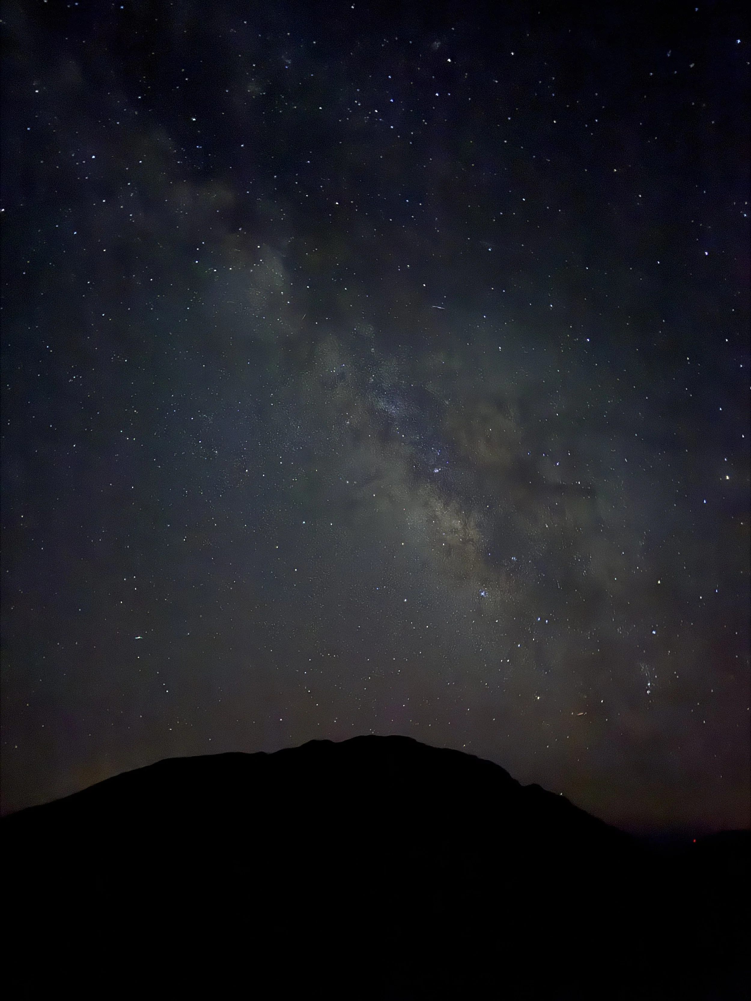
The stargazing up here is unparalleled. We had a full moon and still could see SO many stars. The Milky Way was popping! It turned out to be a very calm & warm night at 11,000 ft. We have heard the wind up here can be pretty gnarly, so we were thankful to have a peaceful summer night up high on the plateau. The whole area is generously rocky, but we were able to mostly clear a small area for our tent.
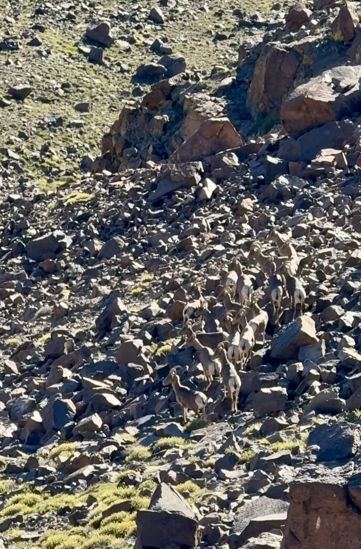
This range is known for having a very healthy Bighorn population. In the morning, when I poked my head out of the tent, I locked eyes with a BIG male Bighorn up on the pass above us. Michael had never seen one before, so I tried to quietly tell him to hurry up and look out of the tent. By the time he did, the bighorn was gone. We quickly packed up our things and made our way over the pass where the bighorn was seen, and within 10 minutes we were hearing them walk on the shale below the rim. When we looked over, we saw a herd of about 15 bighorn and several more running in the valley down below.
On our way out through Belmont, we stopped into Dirty Dick’s Saloon and found out from some locals that the bighorn population took a hit this year due to a respiratory illness.
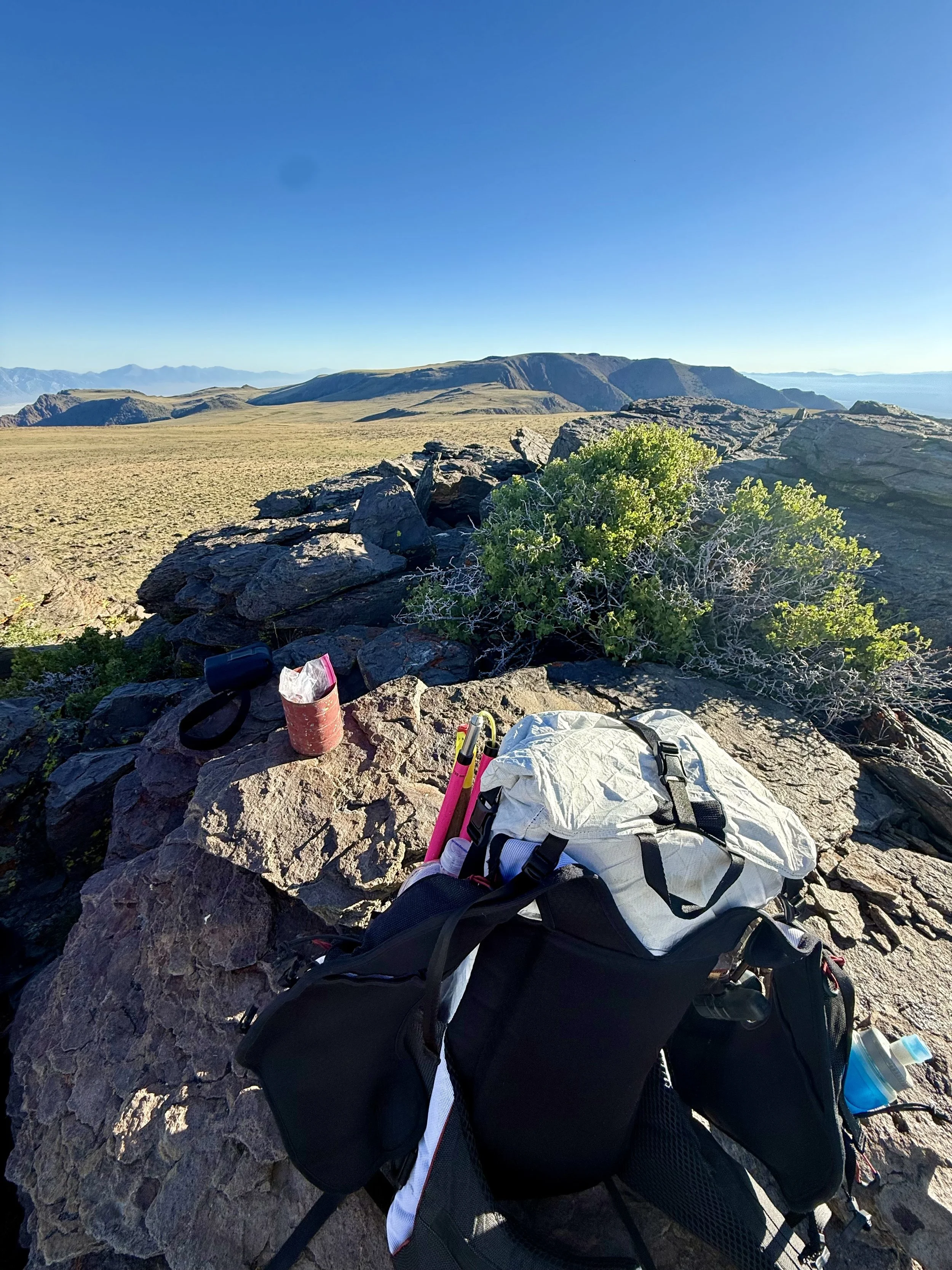
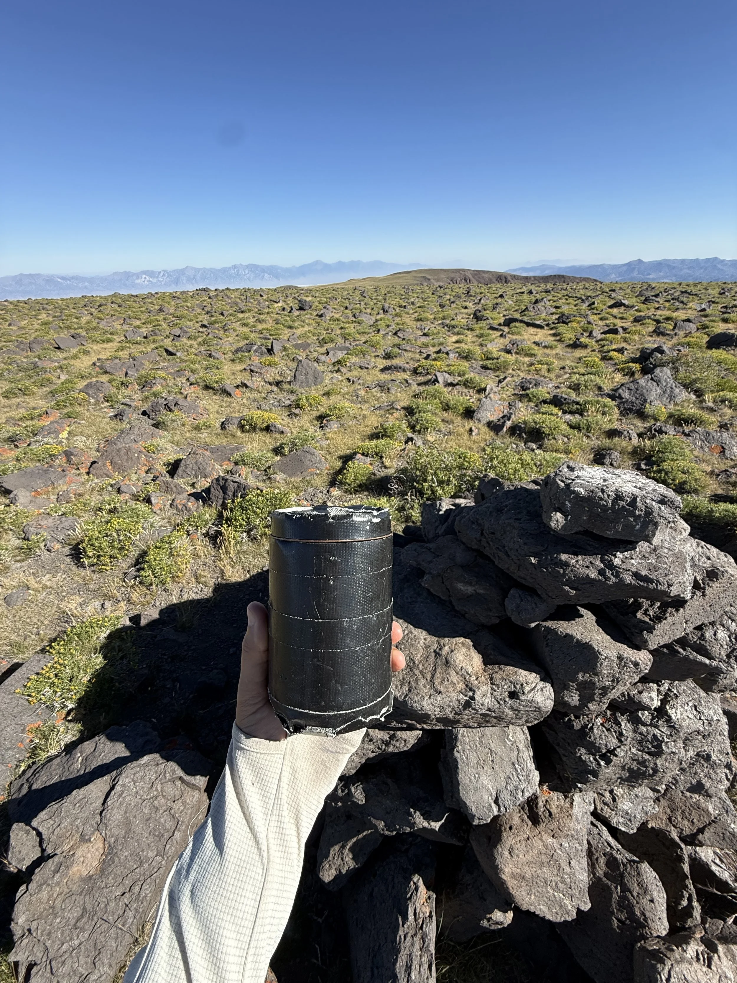
Mt Jefferson was a big reason we came out to this range. Two of its summits (South & North) are on the Great Basin Peak book List. Generally, we spend most of the summer in the High Sierra, but we both wanted to make a point this year to check out more of the high Great Basin Peaks. Mount Jefferson is the 4th highest in the state. I was surprised not to find a register on the South Summit because of how much traffic it gets. I ended up placing a small tin register up there. As well as on the East Summit. We came across a broken glass register on Middle Jefferson and put the book in a plastic baggie. North Jefferson did have a well-maintained, established register. I had read there was a fully intact bighorn skull up here, but apparently someone had decided to take it for themselves, as it was gone.
Some things worth noting on this route: the drive out does turn to dirt as you pass through Belmont, Nevada. But the road is nicely graded. So nice that I immediately started thinking about how I could come back and bike from the Belmont Campground and summit Table Mountain (another Great Basin Peak list summit). The dirt road up to the Pine Creek Campground and trailhead was a little rougher than the graded road, but it was still fine in our small SUV that does not have high clearance.
Water access: There was ample water to filter along the climb up the Pine Creek Trail. Once on the high plateau, we did not come across any water sources. We brought 4L of carrying capacity because of this.
Train for your next adventure.
Individualized coaching for trail runners, mountain athletes, hikers & ultrarunners through High Desert Endurance.