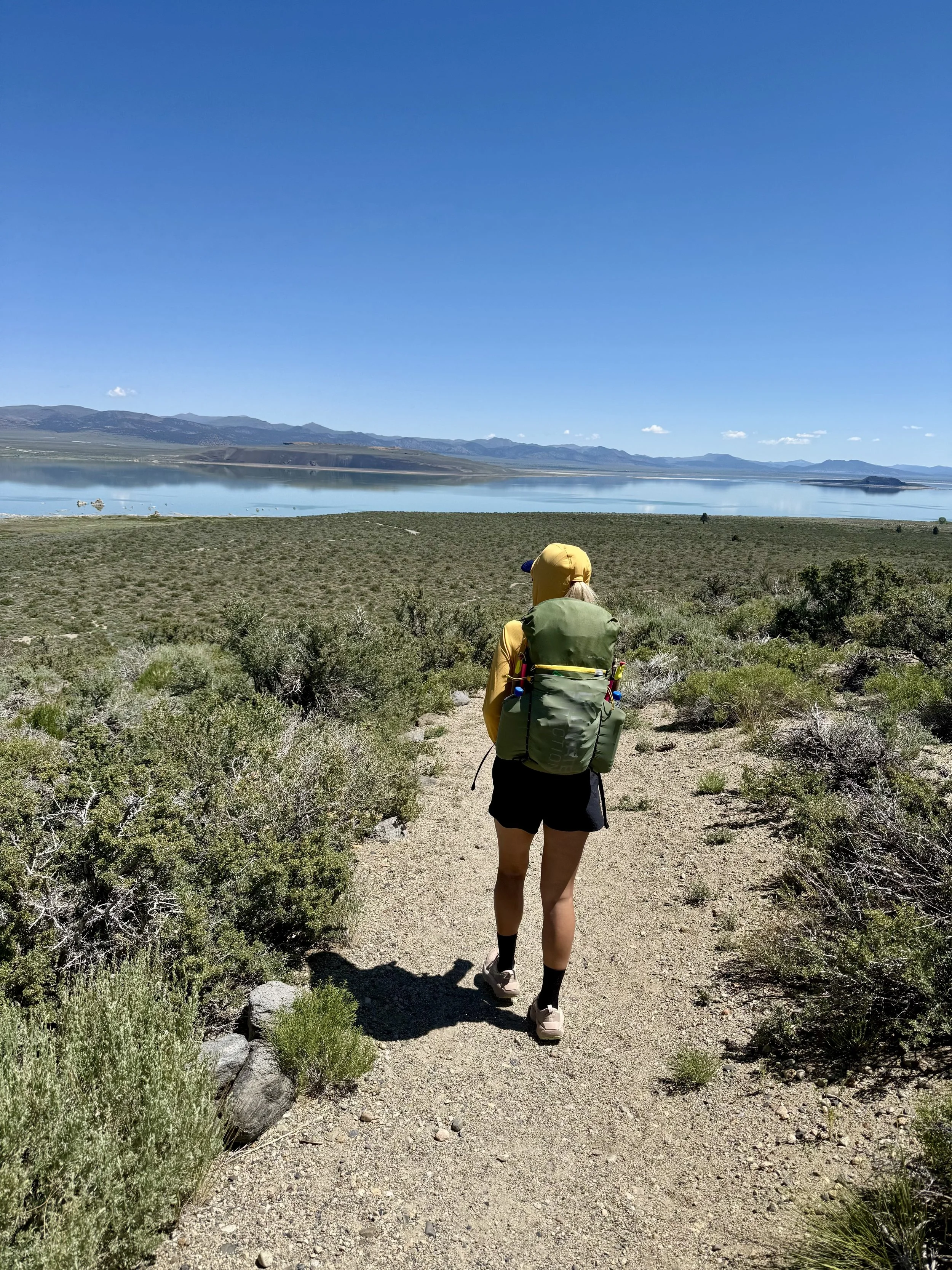
Mono Lake Circumnavigation (overnighter)
A 47-mile overnight circumnavigation of Mono Lake with sandy roads, shoreline bogs, wild horses, ancient lake views, and a long dry stretch that makes water planning the biggest challenge.
May 31–June 1, 2026
Location: Lee Vining, CA
Distance: 47 miles
Elevation Gain: ~2,000 feet
Total Time: 30 hours
Route Type: Loop (clockwise)
Biggest Route Challenge: Water logistics
Trip Snapshot
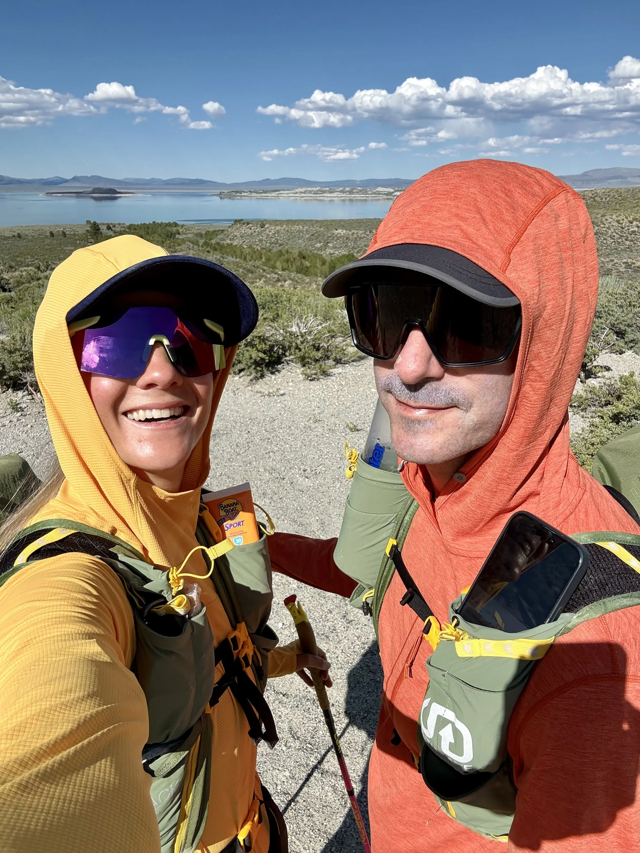
Making my way around Mono Lake has been on my ever-growing list of adventures for years. While many people tackle the circumnavigation as a one-day effort, we chose to turn it into an overnighter.
Lately, I’ve come to realize that if I want to keep doing big adventures regularly, they need to be sustainable. A 40+ mile run in a day requires more recovery than I want to dedicate on a regular basis. Splitting it into an overnight keeps the mileage and training stress much more manageable while still allowing for an incredible adventure.
At the time of this trip, I was also only three weeks removed from my radial head fracture, so hiking with a pack was the best option while my arm healed.
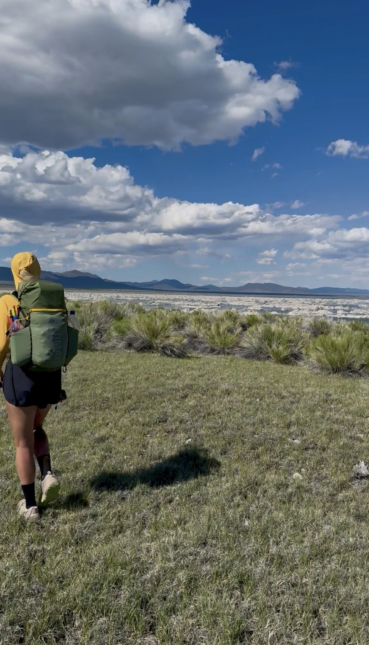
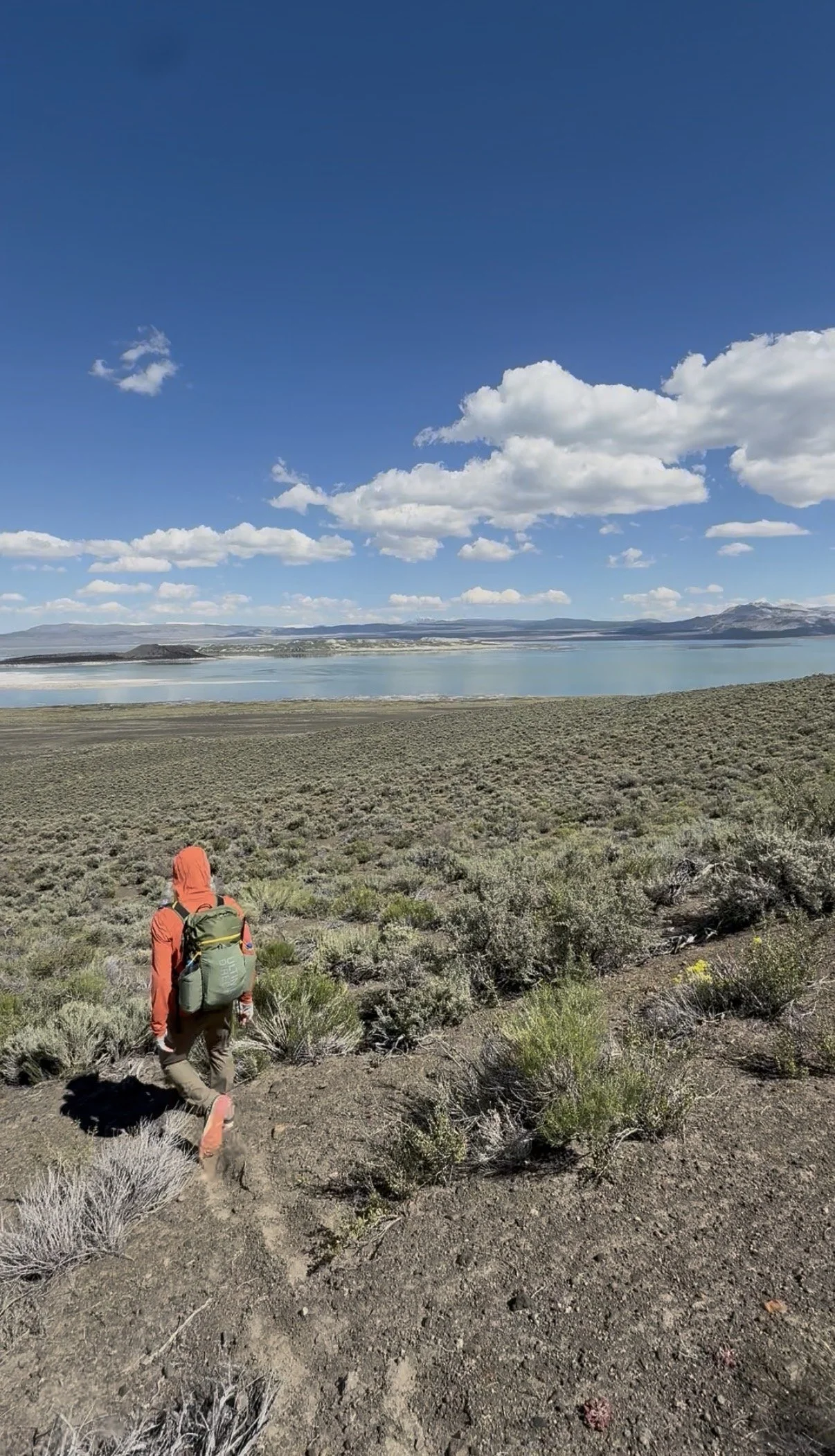
This route also worked out perfectly as our first backpack of the year. It’s relatively flat, but still provided solid mileage over a day and a half of moving. It was a great way to reintroduce carrying a heavier pack without adding a lot of climbing.
Route Logistics: Water
Without question, water is the biggest logistical challenge of this route.
All of the water sources are marked on the CalTopo map linked at the bottom of this report. Roughly 17 miles of the route has reliable water, while the other 30 miles is completely dry.
When we completed the route, daytime temperatures were in the mid-70s. While 75°F may not sound particularly hot, the route sits above 6,000 feet and offers very little shade. The sun is relentless.
I carried 7 liters of water, while my husband started with 8 liters. We made it, but became more conservative with our water than we would have preferred.
Because we traveled clockwise from the Mono Lake Visitor Center, we passed several excellent water sources almost immediately:
Water refill station at the park off Cemetery Road (less than 5 miles)
Mill Creek (approximately 6 miles)
Wilson Creek (just over 7 miles)
Since we had started with full water carries, we skipped all three. In hindsight, I would still leave with a full water carry, but I would stop at the park and drink an additional liter before continuing without refilling my bottles.
After Wilson Creek, we didn’t have another reliable water source until Rush Creek around mile 36.5.
If you’re completing this as a one-day run or fast hike, the water logistics become much easier. You’re covering ground much faster and likely won’t be carrying water for cooking.
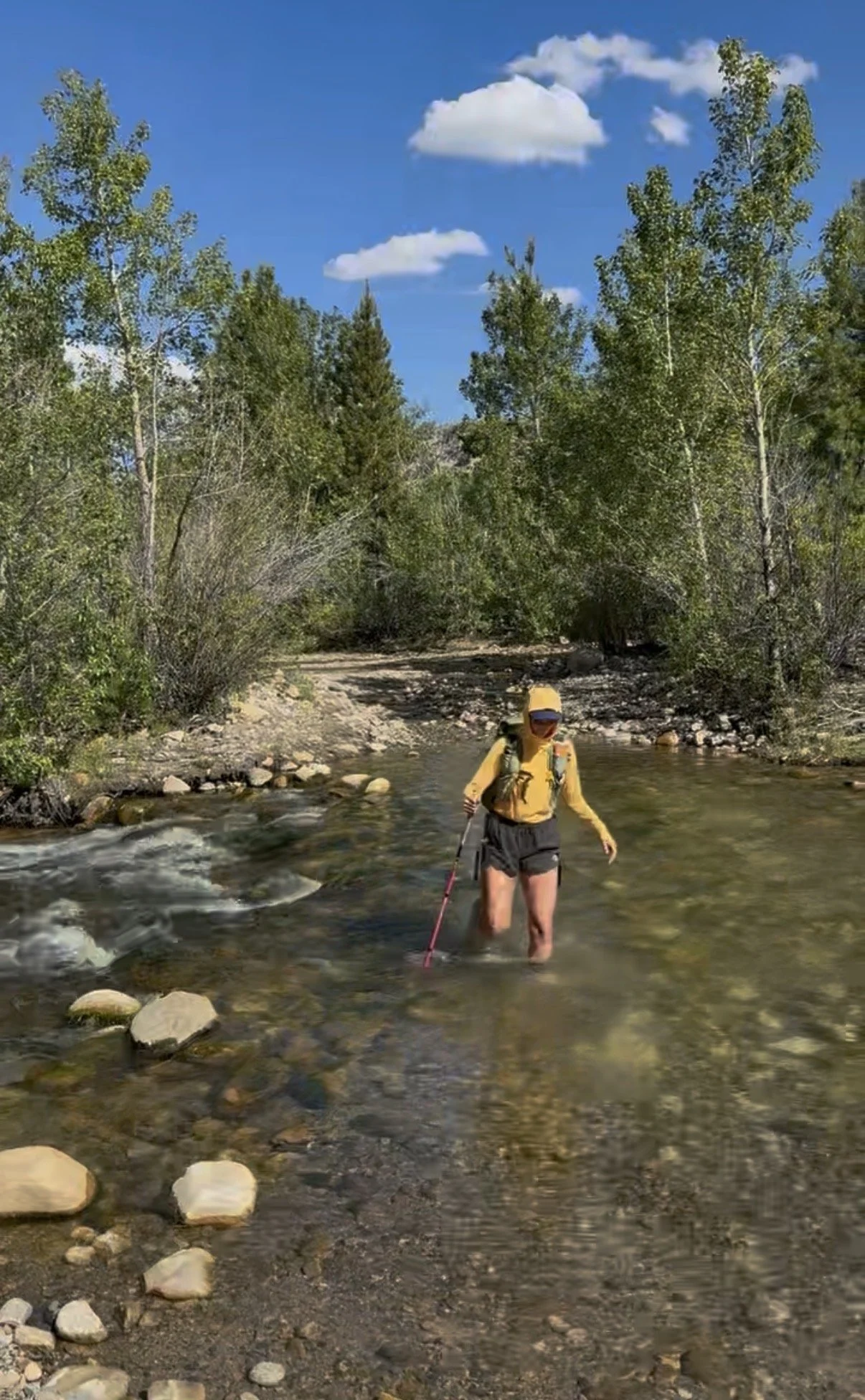
Lee Vining Creek was flowing strongly during our trip and reached just below our knees. Going clockwise meant we only had wet feet for the final mile of the route.
Why This Route?
Who wouldn’t want to spend a couple of days walking around one of the oldest lakes in North America?
My husband.
At least initially.
He wasn’t nearly as excited about this route as I was, but eventually came around. By the end of the trip, he declared he was “never doing another sandy walk” with me.
He also said that after we completed the Lost Coast Trail in a day… so we’ll see.
We originally drew inspiration from the Mono Lake FKT route. Rather than following it exactly, we modified it to better fit the experience we were looking for.
If I were to choose the absolute best way to complete this route, I honestly think it would be on a fat tire bike.
Large portions of the route could easily be ridden on a gravel bike or mountain bike, but several sections contain deep, loose sand where a fat tire bike would shine. I would absolutely come back and do this route again on a bike… just maybe after giving this trip a few years to settle.
Route Notes
We deviated from the standard FKT route (linked below) and traveled cross-country toward the high point. We didn’t actually climb the high point because we’d already visited it previously, and it pulled us farther away from the lakeshore than we wanted to be.
The FKT route stays primarily on dirt roads north of the lake, while we intentionally chose to spend more time along the shoreline.
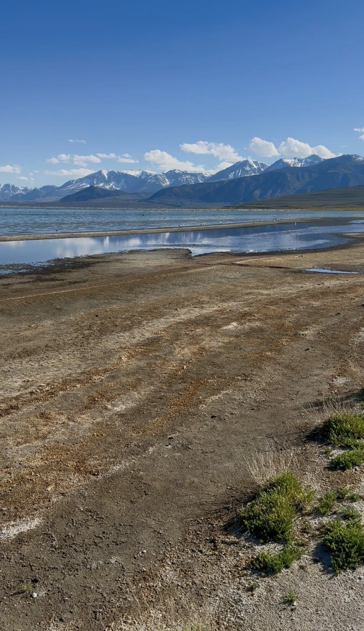
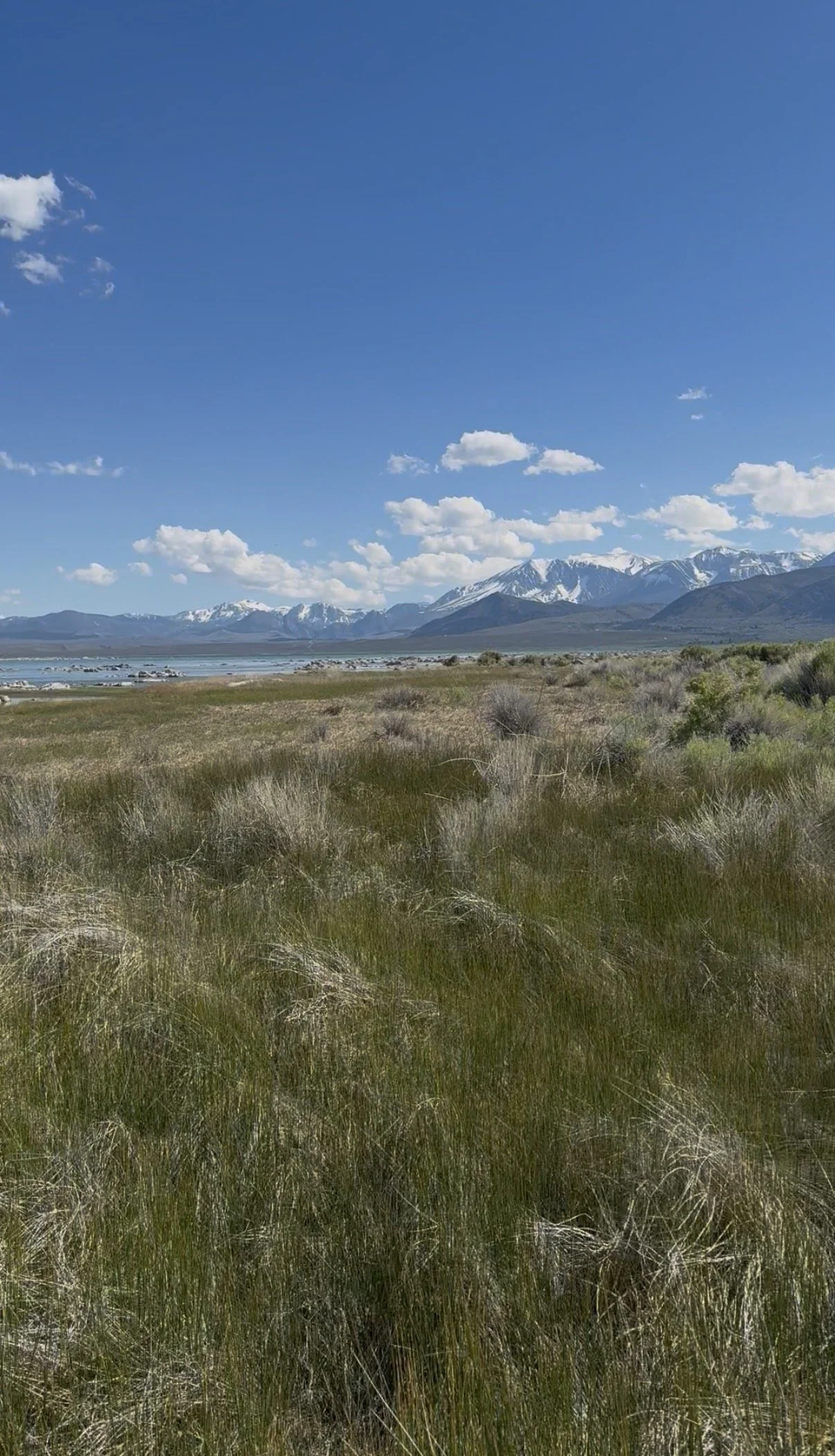
Being near the water was incredibly beautiful and unlike anywhere else I’ve been, but it also came with some tradeoffs.
The shoreline was boggy, buggy, and smelled very strongly of bird shit.
Obviously.
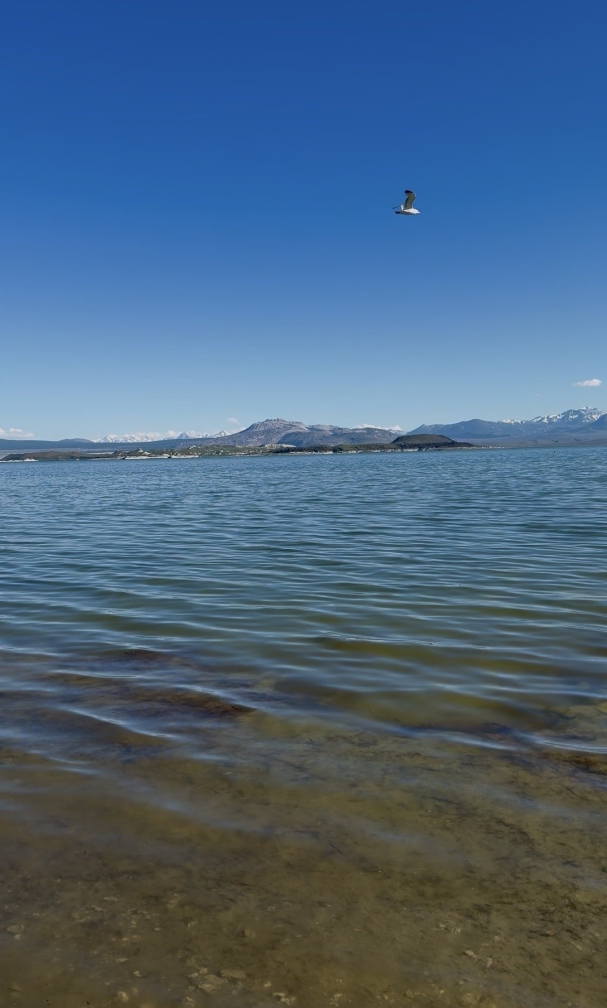
Mono Lake is one of North America’s most important migratory bird habitats, so none of this was surprising.
We spent a couple of hours weaving around muddy sections that slowed us down, trying to avoid soaked feet and fully mud-covered shoes. The shoreline itself was soft and muddy, making travel slower than expected, but hearing thousands of birds and watching them move across the lake was unforgettable.
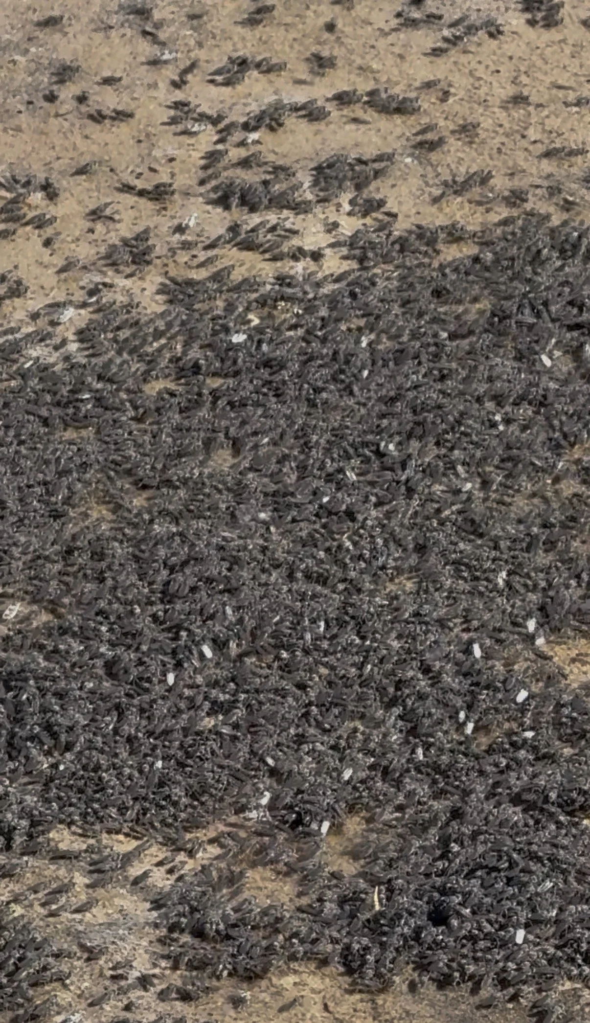
We also encountered the famous alkali fly swarms and the pupal casings that were traditionally harvested as food by the Kutzadika’a (Mono Lake Paiute) people.
Eventually we’d had enough bog dodging and alkali fly disruption, so we headed back toward the forest roads to make up some time.
We had started at 11:00 a.m. after stopping by the Mono Lake Visitor Center to ask permission to leave our vehicle overnight (they kindly allowed us to park there).
By 7:00 p.m., we’d covered roughly 16 miles and wanted to get closer to Warm Springs before camping.
Forest Roads & Camp
Once back on the forest roads, travel became much faster and more enjoyable.
We connected to Pole Line Road & did about 1 mile on paved road, but where our route was supposed to exit the road, we unexpectedly ran into a stretch of private property.
The original FKT route follows what is now a clearly marked private dirt road. Our assumption is that the signage wasn’t present when the route was originally established, but for us, there was no reasonable way to continue without knowingly trespassing.
CalTopo’s Public Lands layer confirmed the road crossed private property.
Instead, we continued walking along Pole Line Road until we turned right onto forest road (FRIN54), adding a couple of extra miles before reconnecting with the FKT route near Warm Springs.
Fresh dirt bike tracks covered much of this section.
That evening we were treated to a full blue moon.
Along the way we found large mountain lion tracks and the tiniest sand-colored frogs I’ve ever seen. They blended into the road so perfectly we constantly watched our footing to avoid stepping on them.
A few miles before Warm Springs we started noticing piles of horse manure, our first clue about what we’d be seeing the following morning.
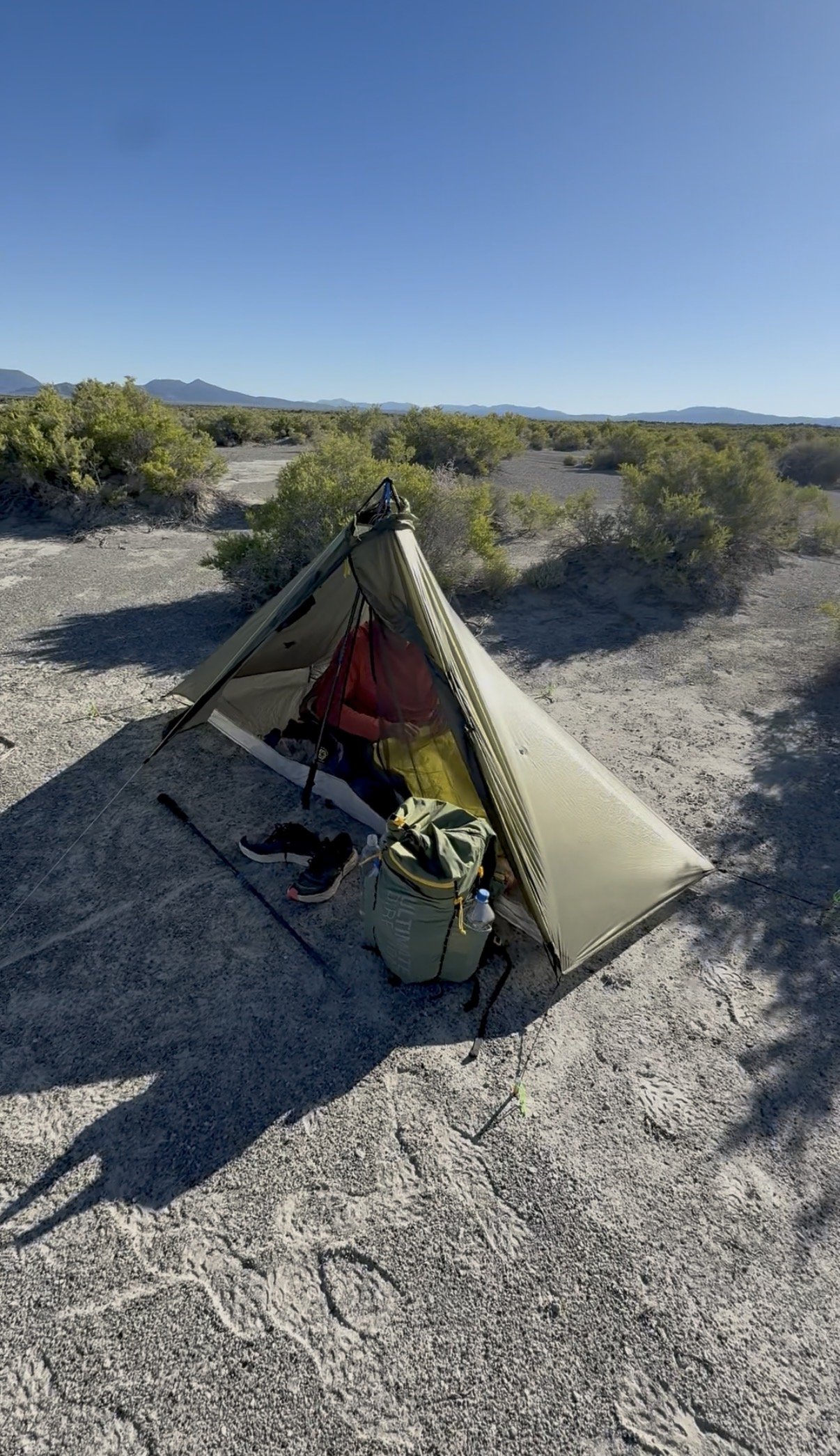
We eventually found a flat sandy campsite near the junction with East Shore Road.
Temperatures dropped to around 40°F overnight.
There was also what sounded like a wild horse giving birth somewhere nearby. That, combined with the unbelievably bright moon, made for a pretty mediocre night’s sleep.
The South Shore
The stretch beyond Warm Springs and along the south side of Mono Lake contains the route's deepest sand.
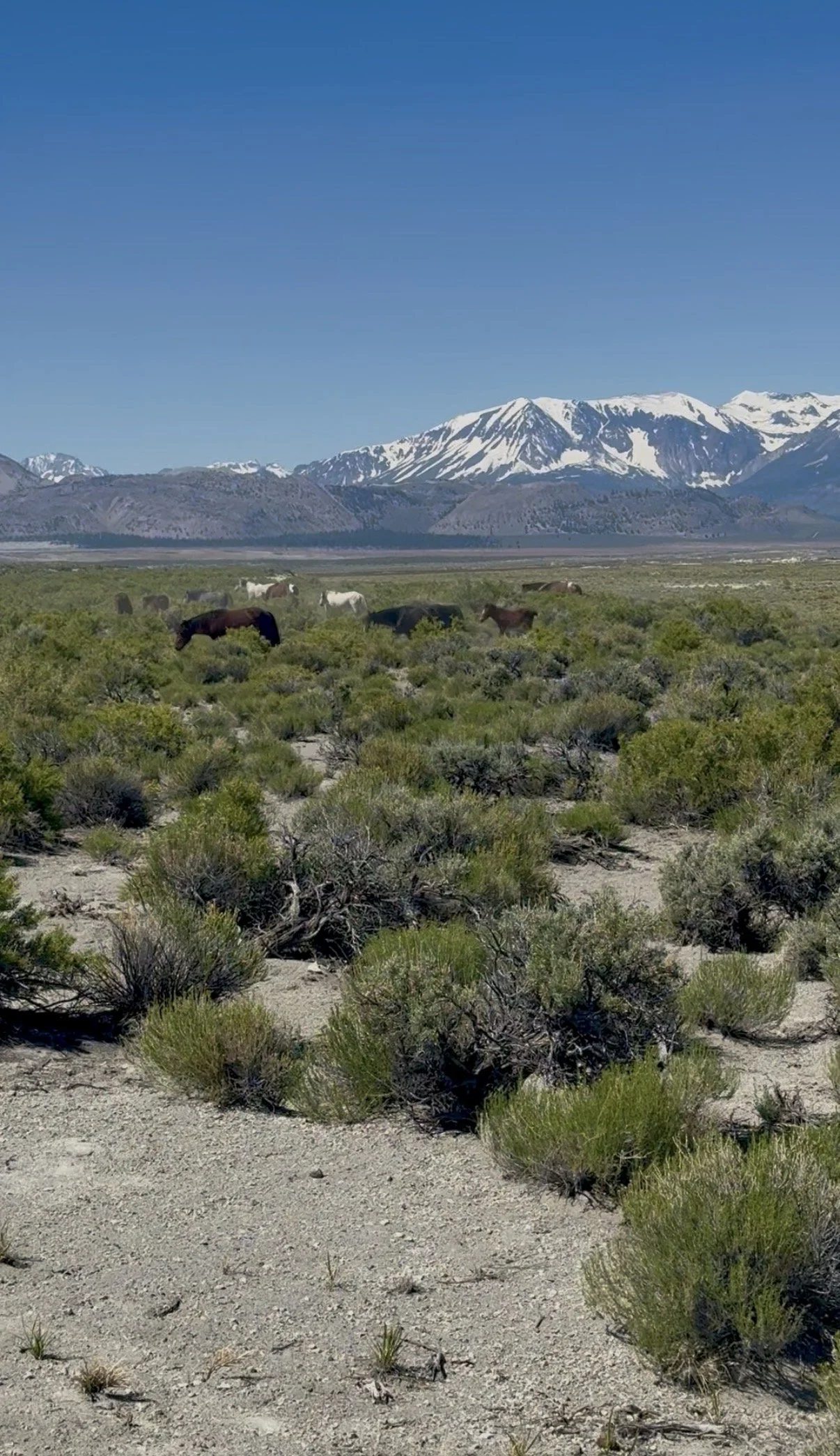
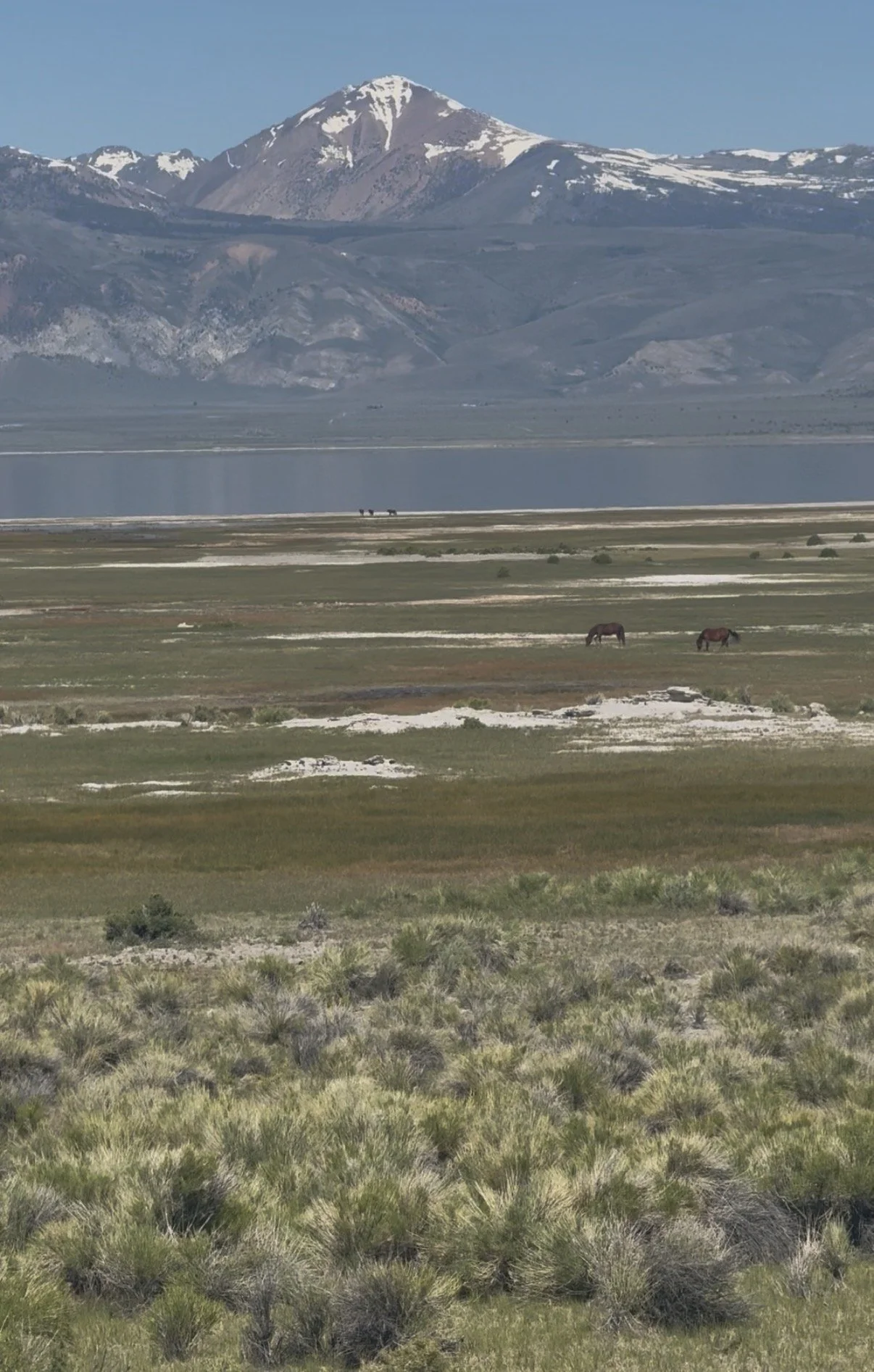
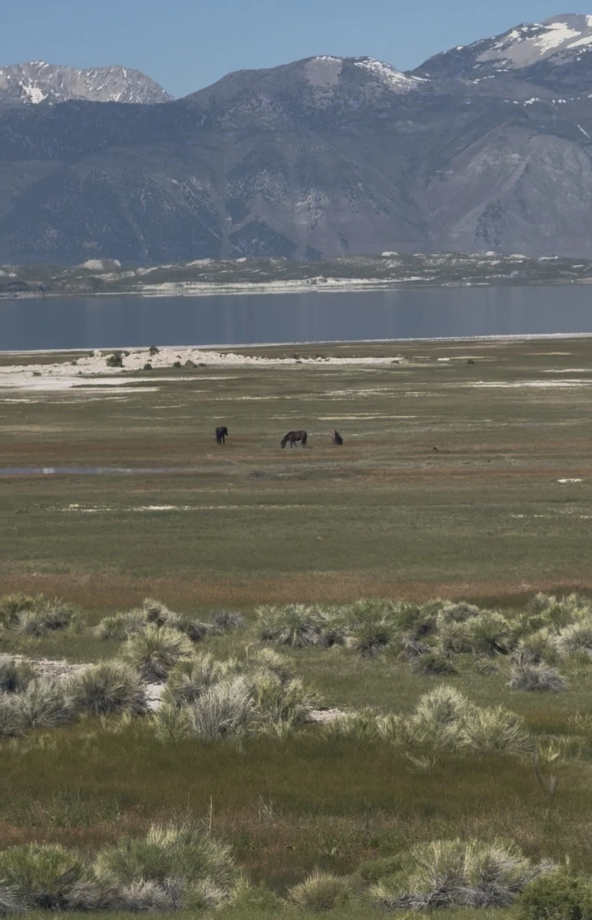
This is also where we encountered hundreds of wild horses.
Seeing so many horses against the backdrop of Mono Lake was one of the most memorable parts of the trip.
The horses themselves are somewhat controversial. Their population has expanded into the Mono Basin over time, raising concerns about vehicle collisions along Highways 120 and 395 and their ecological impacts around the lake.
Regardless of where you stand on the issue, it’s worth knowing how to safely interact with wild horses before traveling through this area.
Rush Creek
By the time we reached Rush Creek, we were more than ready to soak our feet and refill our water.
Rush Creek was RUSHING.
We accessed the creek through the brush on the south side of the road, although it appeared accessible from the north side as well.
After filtering water, we each drank a liter at the source, before the final stretch back to the visitor center.
The Final Miles
From South Tufa to the trail leading back toward the visitor center, the roads become hard-packed and well graded.
This final 10-ish-mile stretch would make for excellent gravel biking or very enjoyable running.
We took the trail just beyond Lee Vining Creek back to the visitor center.
Be aware that this trail is overgrown and appears largely unmaintained.
We’re also fairly certain this is where we picked up a tick.
When we finished, Mobil Mart was open, making it the perfect place to celebrate with dinner before heading home.
Training Takeaways
Lately I've been realizing that if I want to experience more places and take on more adventures, I need to approach them in a way that's sustainable. Not every route has to be a one-day push.
For us, turning the Mono Lake Circumnavigation into an overnighter struck that balance perfectly. We still covered 47 miles, but we also had time to slow down, enjoy the route, and appreciate everything that makes Mono Lake such a unique place. We finished feeling excited to start planning the next adventure, rather than needing an extended recovery before getting back outside.
We used this trip as a heavy pack “rust buster”. But with the water carry needed for this trip, training with a heavy pack would be worthwhile. 7 Liters weighs over 15 pounds. That plus food & Gear and our packs were easily over 25 pounds.
Major Takeaways
Plan your water carries carefully. If you keep the route legal and avoid the private road, there is essentially a 30-mile dry stretch.
Gaiters are highly recommended.
Shoes with very breathable mesh uppers will likely fill with sand.
If you spend time along the shoreline, expect wet feet.
Know how to safely interact with wild horses before traveling the south side of the lake.
Be aware of Mono Lake’s historic high-water mark and camp above it to remain within regulations.
If you plan to use a stove, you’ll need a free California Campfire Permit.
Gear List
Pack
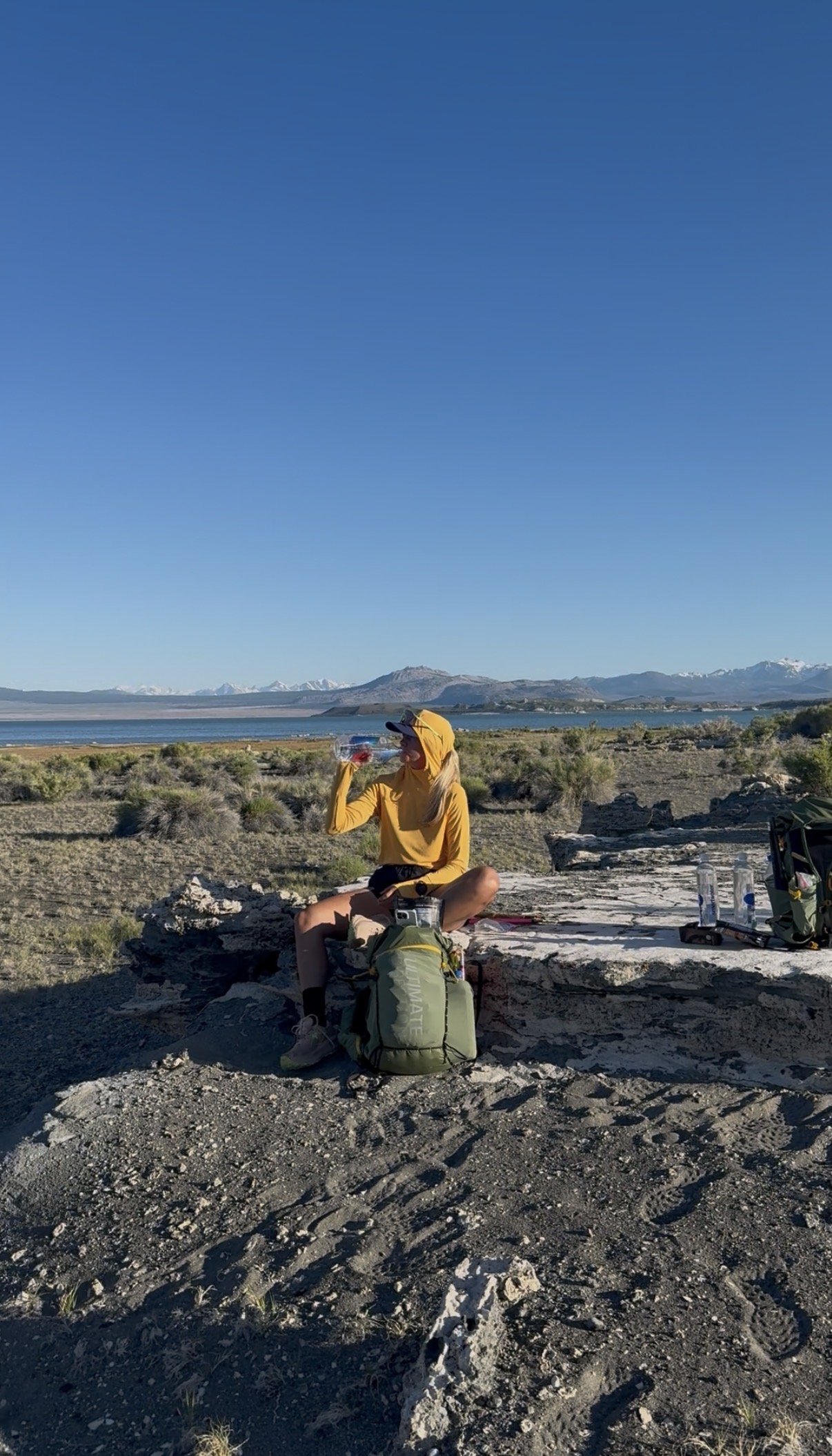
Ultimate Direction Fastpack 40L (I don’t like this pack.)
Shelter & Sleep
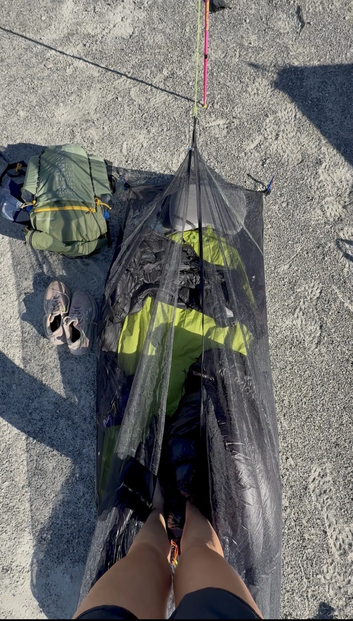
Mountain Laurel Designs Bug Bivy V1
Zpacks 20° Quilt
Zpacks DCF Tarp (never used)
Exped Ultra Sleeping Pad
Hummingbird Hammocks inflatable pillow
Clothing
Alpha Direct hoodie
Alpha Direct sleep socks
Patagonia Houdini
Montbell puffy
Two pairs of socks
Kitchen
Jetboil MicroMo
Small fuel canister
Footwear
Asics Trabuco Max 4
Leki trekking poles
Miscellaneous
Squirrel’s Nut Butter
First aid kit
Hand sanitizer
Two battery banks
Garmin inReach
Fuel & Hydration
I packed approximately 3,000 calories per day (6,000 calories total).
I started with 7 liters of water, drank approximately 1 liter at Rush Creek, then filtered and carried another 1.5 liters for the final 10 miles.
In total, I consumed roughly 9.5 liters over the trip.
It’s important to remember that hydration needs are highly individual and depend on factors like sweat rate, pace, temperature, and acclimatization. I’m sharing what worked for me for transparency—not as a recommendation. Know your own hydration needs before heading into a route like this.
Precision Hydration has a great article explaining how to do an at-home sweat rate test.
Resources
Train for your next adventure.
Individualized coaching for trail runners, mountain athletes, hikers & ultrarunners through High Desert Endurance. Whether you’re training for a race, mountain objective, or your next human-powered adventure, I’d love to help.